At 10:33 on Thursday night, as most of northern Tibet was asleep, the ground under Baqen County began to move. China’s official seismology agency measured the shock at magnitude 7.0 — strong enough to register on instruments across the planet, and the most powerful earthquake to strike China in nearly three years.
The China Earthquake Networks Center, the state agency that monitors seismic activity across the country, placed the epicentre at 32.40 degrees north and 93.79 degrees east, inside Baqen County in Nagqu, the prefecture-level city that administers much of northern Tibet. It put the depth at just 10 kilometres — shallow enough for the shaking to be severe at the surface.
The U.S. Geological Survey, which tracks earthquakes independently, agreed on the magnitude and located the epicentre roughly 190 kilometres east-northeast of the city of Nagqu, on the high plateau about 400 kilometres north of Lhasa, Tibet’s capital. Its depth estimate differed slightly, at 18 kilometres. Such differences are normal in the first hours: two networks reading the same waves from different station geometries rarely agree to the kilometre.
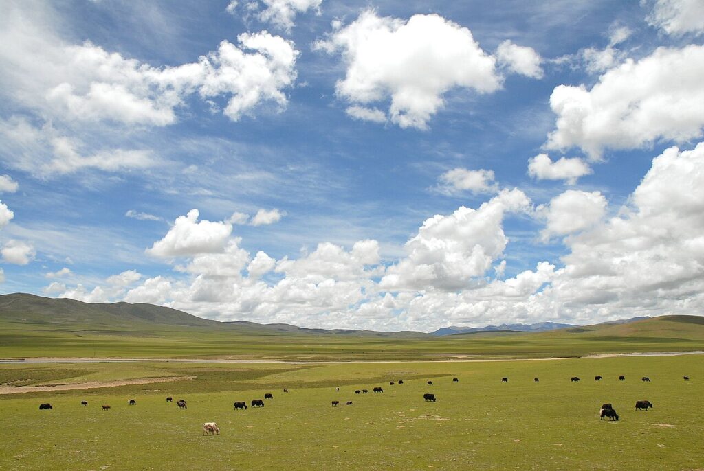
By any measure, this was a major earthquake. The land it struck is not. Within five kilometres of the epicentre the average elevation is about 4,864 metres — nearly 16,000 feet — and Baqen County is one of the most thinly settled places in China. That sparseness is, paradoxically, the reason casualty figures may be slow to arrive: few instruments, few reporters, and long mountain roads between the epicentre and the nearest county offices.
No casualties reported yet
Hours after the quake, neither China’s state news agency Xinhua nor the seismology center had reported any deaths or injuries, and no damage assessments had been released. The shaking, the center said, was clearly felt in the local area — but “the local area” in northern Nagqu can mean a scatter of townships separated by hours of high-altitude road.
That information gap is familiar. In 2010, a magnitude 7.1 quake struck Yushu, roughly 280 kilometres from Thursday’s epicentre in neighbouring Qinghai province, and killed at least 2,698 people; the toll took days to settle. Officials will be hoping Baqen’s far thinner population spares it a similar count. Earlier this month the region got a smaller warning: a 5.9-magnitude earthquake struck Balochistan on October 17, and a magnitude 7.7 quake rocked Panama on October 10 — a reminder that the planet’s seismic belts have been unusually busy this month.
Why the plateau shakes
Tibet sits on one of the most violent seams in the Earth’s crust. The Indian tectonic plate is still driving north into Eurasia at roughly the speed fingernails grow, crumpling the land upward into the Himalayas and the Tibetan Plateau — and, in places, stretching it apart. Thursday’s quake appears to have been caused by that stretching: a normal fault rupture, the kind where one block of crust drops relative to another as the plateau pulls itself apart under its own weight.
Seismologists had marked this corner of the plateau as overdue for something large. Thursday’s event was the biggest earthquake within 200 kilometres of its epicentre in five years — and the strongest anywhere in China since January 2024.
Why this matters
For the world beyond the plateau, the Nagqu quake exposes a blind spot in how disaster news reaches us. When a magnitude 7 strikes a capital city, the toll is known within the hour. When it strikes Baqen County — sparse, extreme in altitude, with restricted media access — the first honest answer is “we don’t know yet,” and the real toll may not surface for days. Aid agencies, insurers, and the scientists who maintain global hazard maps all depend on those early hours being filled in accurately.
It also matters because construction quality in China’s western highlands has been the difference between a frightening night and a catastrophe before. The 2010 Yushu disaster was worsened by traditional masonry that collapsed readily; the years since have seen waves of seismic retrofitting across Qinghai and Tibet. How Baqen’s buildings fared will be the first real test of that work in a major event — and the answer, whenever it comes, will shape earthquake policy far beyond China’s borders, from the Himalayas to the Andes.
For now, the instruments have spoken and the ground is quiet. The human accounting is still to come.