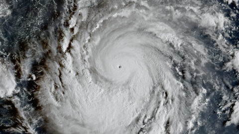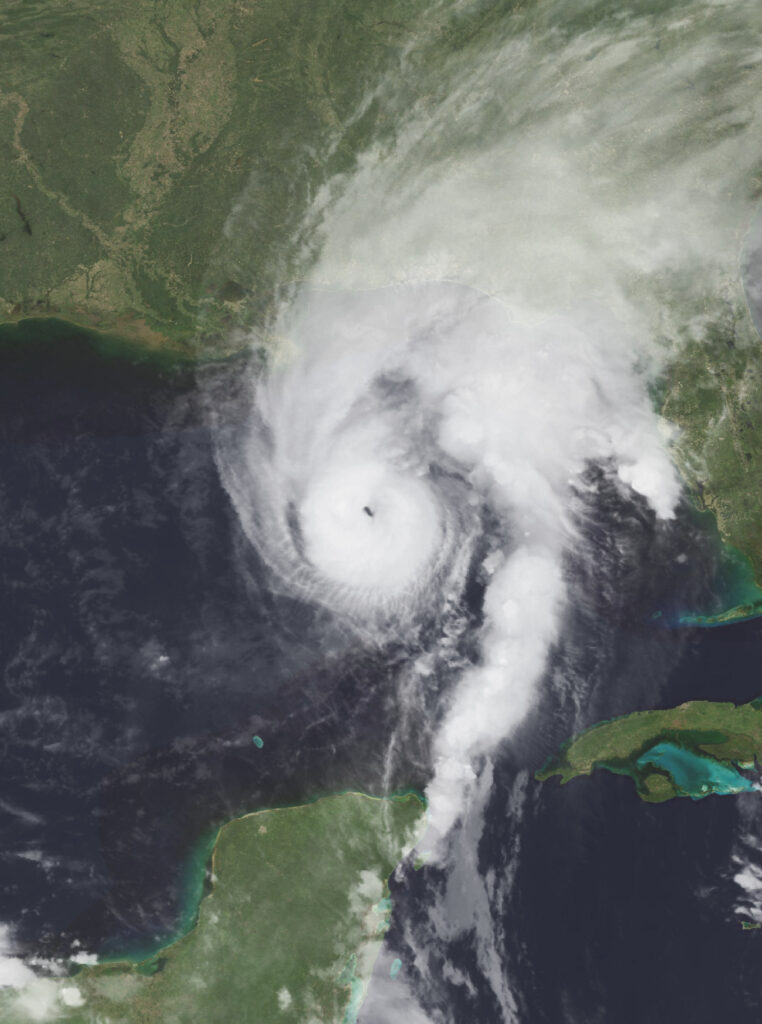
Florida’s Panhandle is about to take a direct hit. Hurricane Isaias, a Category 3 storm with maximum sustained winds of 120 mph, is closing in on the northern Gulf Coast and is expected to make landfall Friday evening somewhere near Pensacola — the first major hurricane to threaten the area in two decades.
As of the National Hurricane Center’s Friday morning update, the storm was about 195 miles south of Pensacola, racing north-northeast at 16 mph. Forecasters expect it to still be packing winds around 115 mph when its center comes ashore, most likely between 9 p.m. and midnight Eastern time. Life-threatening storm surge and devastating winds are likely along the Florida Panhandle and the Alabama coast, the Hurricane Center warned.
The surge is what keeps emergency managers up at night. The NHC is forecasting water 6 to 9 feet above ground from the Alabama-Florida border to Grayton Beach, with storm-surge warnings stretching from Ocean Springs, Mississippi, to Florida’s Gulf County line. Heavy rain — up to 10 inches in places, with localized totals possibly approaching 15 inches in the Panhandle and Big Bend — is expected from southeastern Louisiana to Florida’s Big Bend through the weekend.
“Preparations should be rushed to completion as the weather will go downhill quickly today,” the National Hurricane Center said Friday morning.
The message has been received. Florida Gov. Ron DeSantis expanded a state of emergency to 27 counties across North Florida. Schools and universities across the region closed for the day. At Pensacola Beach, double red flags ordered swimmers out of the water, and lifeguards were pulled from the sand mid-morning. Pensacola Mayor D.C. Reeves urged residents to stay put and keep first responders out of danger: “Bottom line is to just please be smart. Please be smart.”
Air travel is already snarled. More than 3,000 flights have been delayed and more than 320 canceled nationwide as airlines reroute around the storm’s sprawling outer circulation, according to FlightAware. Crews have been pulled from 121 Gulf of Mexico production platforms. Even Waffle House — the chain famous for never closing, whose open-or-shuttered status FEMA informally treats as a disaster barometer — shut every location in Escambia and Santa Rosa counties this morning.
The danger won’t end at landfall. Forecasters warn Isaias could become a “prolific tornado producer” for the Panhandle, the Big Bend, and southern Georgia, with the tornado threat persisting into Saturday. Forecasters could not rule out strong tornadoes, meteorologists in Tallahassee said, and hurricane-force winds could reach 100 miles inland.
Reinsurance analysts at BMS Group estimate insured losses of $3 billion to $5 billion if the storm strikes as forecast.
What makes Isaias remarkable is not just its strength but its timing. It is the first hurricane of the entire 2026 Atlantic season — an almost unheard-of delay. Since 1950, only three Septembers have passed without a single hurricane: 1994, 1972, and 1962. Pre-season forecasts called for four or five hurricanes this year. Instead, a record-strong El Niño cranked up wind shear across the tropical Atlantic and strangled storm after storm before they could organize. The Pacific, meanwhile, has been far more active — one storm, Polo, briefly reached Category 5 strength.
There’s a cruel irony in that. A year that took until October to produce its first Atlantic hurricane may finish the job with a Category 3 landfall. Pensacola hasn’t faced a major hurricane since Dennis in 2005, and the last comparable hit was Ivan in 2004, which slammed into Gulf Shores, Alabama, with 120 mph winds.
As of Friday afternoon, the worst was still hours away. For everyone in Isaias’s path — from Mobile to Tallahassee — the question is no longer whether the storm is coming, but how much it will take with it.